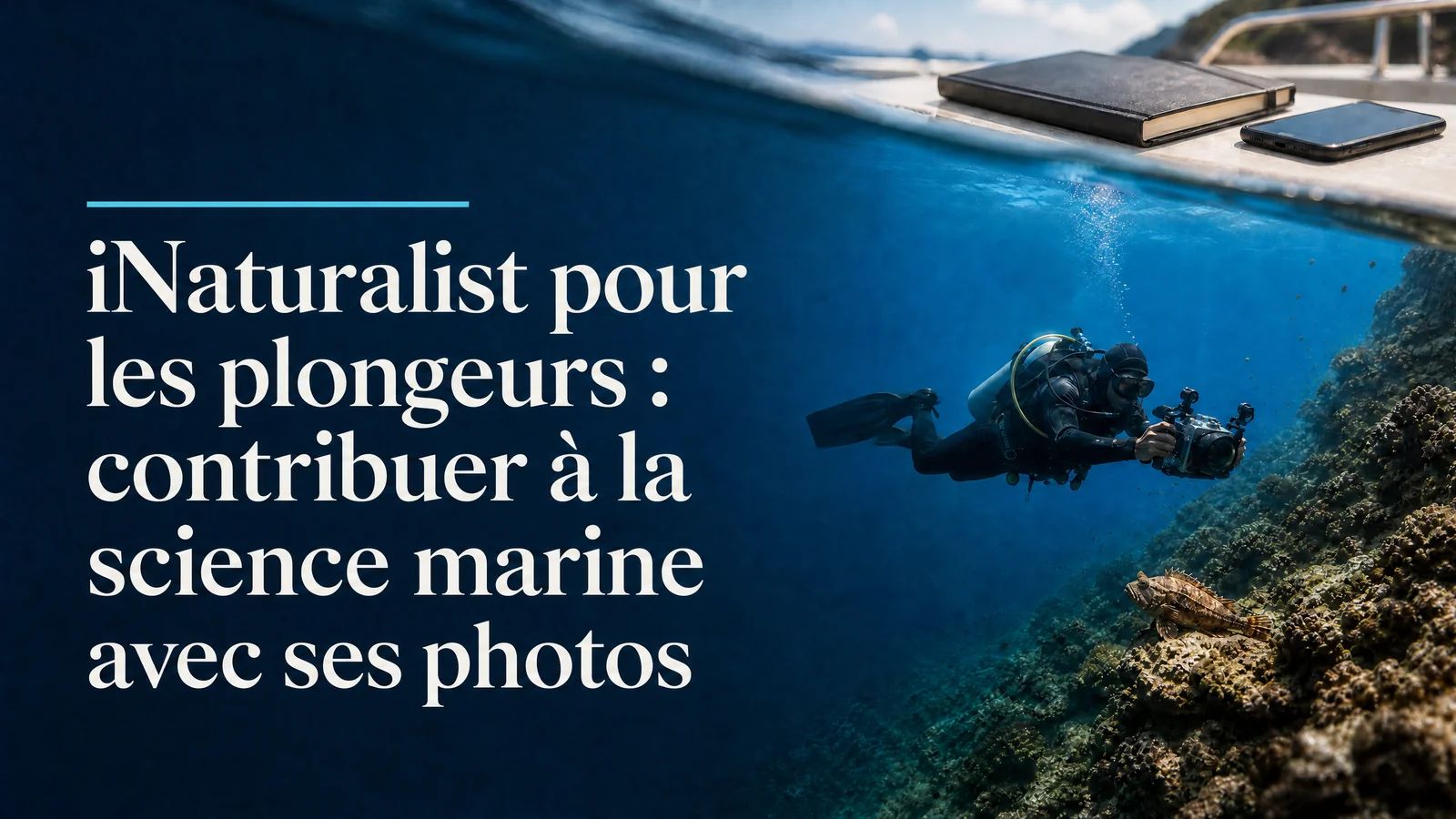
iNaturalist for Divers: Contribute to Marine Science with Your Photos.
A practical guide to using iNaturalist for underwater photographers. Submit marine observations- achieve "Research Grade"- join citizen science projects. Every dive photo can become valuable scientific data.
No. iNaturalist is designed for nature enthusiasts, not scientists. Identification may be approximate, at the genus or family level. The community then refines the identification. The clearer and more contextually informative your photos are, the faster and more accurate the identification will be.
How do I achieve "Research Grade" status on iNaturalist?
An observation is considered "Research Grade" when at least two members of the community agree on the species identification, and the observation includes valid GPS coordinates and a date. This level of data allows researchers to use your observations in their analyses.
Can I post observations from a dive?
Not in real-time while underwater. Ideally, post your observation within 24 hours of the dive, while the details are still fresh in your mind. Make a note of the precise location, depth, and observed behavior on a slate or voice memo as soon as you surface.
Is image quality important for iNaturalist?
The clearer your photos show the identifying characteristics (color, texture, shape, appendages) of a subject, the faster the identification process will be. In underwater photography, multiple shots from different angles of the same individual greatly increase the chances of species-level identification.
Does iNaturalist work without an internet connection?
Yes. The mobile application allows you to create observations offline. Synchronization and AI-powered identification occur once you are reconnected to the internet. This is useful for remote locations where the dive resort's internet connectivity is unreliable.
What is the difference between iNaturalist and BioObs?
iNaturalist is a general-purpose international platform with a large global community. BioObs is a more structured Francophone protocol focused on the marine biodiversity of France and Belgium, offering specific training programs. The two are complementary: iNaturalist for spontaneous observations, and BioObs for structured surveys.
Are my iNaturalist data actually used by researchers?
Yes. "Research Grade" observations are automatically shared with GBIF (Global Biodiversity Information Facility), the world's largest biodiversity database. Scientific publications have used iNaturalist data to document invasive species, changes in distribution, and even new species.
My first observation posted on iNaturalist was a nudibranch photographed at a depth of 12 meters in the Banyuls-sur-Mer marine reserve, in 2019. I wasn't certain of the species. Within less than two hours, a community member based in Spain had identified it as Hypselodoris picta and added a bibliographic reference. My photo, taken with a compact waterproof camera, became a localized scientific data point.
That's what iNaturalist is. It's not just a social network for nature photos. It's a collective knowledge infrastructure where every observation from a scuba diver can contribute to databases used by researchers around the world.
In one sentence: iNaturalist transforms your diving photos into usable scientific data, without any prior training and in less than five minutes per observation.
What is iNaturalist and why does it matter?
iNaturalist is a platform founded in 2008 by the University of California, Berkeley, and now managed jointly by the California Academy of Sciences and the National Geographic Society. The database contains over 200 million observations worldwide, including a significant portion of marine observations.
For a scuba diver-photographer, the benefit is immediate: you're already taking the photos. The only additional effort is to post them with the correct metadata, and the community takes care of the identification.Research-grade data (see below) are automatically uploaded to GBIF (Global Biodiversity Information Facility), the world's largest aggregation of biodiversity data, used by thousands of scientific publications each year.
This is not an abstract contribution. Observations made by divers have helped document invasive species in the Mediterranean (including the pufferfish Lagocephalus sceleratus along the French coast), track distribution changes related to warming, and identify species in areas lacking professional scientific coverage.
Creating an Account and Downloading the App
The process takes three minutes on inaturalist.org. The mobile app is available for iOS and Android. It allows you to create observations offline, which is useful for destinations with limited connectivity. Synchronization and automatic identification (via a visual recognition model trained on millions of observations) occur once you are reconnected.
The interface is partially available in French, but the francophone community is active, particularly for Mediterranean species and waters off Belgium and Brittany.
Posting a Marine Observation: The Concrete Steps
During or Immediately After the DiveNote on a slate or in a voice memo as soon as you surface: the approximate depth at which you observed the animal, its behavior (at rest, moving, interacting with another animal), and the location as precisely as possible (site name, GPS coordinates if your dive computer provides them).
This information is easily lost. A quarter of an hour after the dive, the exact depth becomes vague. Two days later, the behavior no longer exists in your memory. Take 90 seconds immediately after surfacing.
Creating the Observation in the App
In the app or on the website, create a new observation and associate your photo - or multiple photos of the same individual from different angles.
Fields to fill out:
Date and Time: Automatically extracted from the EXIF metadata if your camera records them correctly. Make sure the time on your device was set correctly before the dive.
Location: The GPS field is essential for the observation to be scientifically useful. On the website, you manually place a point on the map. In the app, the phone automatically geolocates if location services are enabled.
Taxon: Enter the name that you think corresponds to the animal observed. If you don't know, enter "Fish" or "Marine Invertebrate" and let the community refine it. The integrated visual recognition AI suggests options based on your photos.Notes: This is where you add the depth, behavior, and context (rocky bottom, Posidonia seagrass bed, coral, sand). Also include the approximate temperature if your dive computer measures it.
What happens next with the community
Members review your observations and suggest identifications or confirm yours. Two agreements at the species level are enough for an observation to be classified as "Research Grade." If no one identifies the organism, the observation remains pending: this is normal for rare species or photos that are not very clear.
Metadata that makes a difference
GPS location is the first criterion of scientific value. Without precise coordinates, the data loses much of its usefulness for distribution and habitat change analyses. Always activate the GPS on your phone before creating an observation.
The date is the second criterion. It allows us to track temporal patterns (seasonality, migration, effects of warming). An observation without a date cannot be included in temporal analyses.
Depth is not a standard field in iNaturalist, but it can be specified in the notes. For certain species (nudibranchs with a precise bathymetric distribution, deep-water fish documented on infrequently visited sites), this information can make a difference in identification.Multiple photos significantly increase the chances of identification. A nudibranch photographed from three angles (top, profile, and gill detail) will be identified much more easily than a single top-down photo. For fish, images showing both sides and details of the caudal fin often speed up the validation process.
Achieving "Research Grade": How to Do It
An observation achieves "Research Grade" status when three conditions are met: GPS location is provided, the date is recorded, and the identification at the species level is confirmed by at least two members of the community (one of whom is not the observer). This status is automatically transmitted to GBIF, transforming your photo into real scientific data.
To achieve this faster: ensure your photos are sharp and include multiple angles if possible. Provide complete metadata from the moment of creation, and start with relatively common species that are easy to identify. Mediterranean nudibranchs, well-documented reef fish, and cephalopods generally have active and responsive identification communities.
If an observation remains pending for several weeks, check that the location and date are present and that the photo allows for reasonable identification. You can also tag experts in a particular species in the comments of your observation to speed up the process.
Marine Projects to JoiniNaturalist operates through thematic and geographic projects. Joining a project allows your observations to be integrated into coordinated efforts with specific scientific objectives.
French-speaking and Mediterranean Projects: - Mediterranean Biodiversity: A general monitoring program for Mediterranean biodiversity, with numerous contributors from France, Italy, and Spain, covering species of all sizes. - Invasive Species in the Mediterranean: Focuses on non-native species, including pufferfish and blue crabs. The data is used by European research teams. - iNaturalist Belgium: A national project with active organizers for Belgian waters.
Specialized International Projects: - MantaMatcher: Individual identification of manta rays based on ventral patterns, compatible with photo-identification techniques for cetaceans and fish. - iSeahorse: Seahorses from around the world, with population monitoring in areas under pressure.
Mistakes to Avoid
Posting without a location. This is the most common and scientifically costly mistake. Always activate the GPS before creating an observation. An observation without a location contributes to the identification community but does not provide distribution data.Making premature and certain identifications. It is better to provide a partial identification (family or genus) than an incorrect species-level identification. Taxonomic errors pollute the data and require effort from the community to correct.
Posting only one blurry photo. An observation that is difficult to identify will remain pending indefinitely. If you only have a low-quality photo, post it but indicate in the notes that the quality is limited. Sometimes, even an imperfect photo is sufficient for identifying the family.
Forgetting the context. The habitat (rocky bottom, seagrass bed, coral, pelagic zone), depth, and behavior are information that only you can provide at the time of observation. The community cannot guess.Underwater photography is one of the few disciplines where artistic quality and scientific value overlap. A well-exposed, sharp photograph with clearly visible details is both beautiful and useful. For more information on using artificial intelligence for species identification in diving, the article Identifying marine species with AI as a citizen scientist provides a comprehensive overview. And to understand how these citizen contributions contribute to recent scientific discoveries, the article about marine discoveries in 2026 illustrates the real impact of these practices.
Do you want to learn how to take photos that are sharp enough and well-documented to achieve "Research Grade" for most of your observations? The AquaExposure training course integrates photographic techniques and an ethical approach, which is the key difference between a simple souvenir photo and a truly useful one.
iNaturalist for Divers: Contribute to Marine Science with Your Photos. | AquaExposure